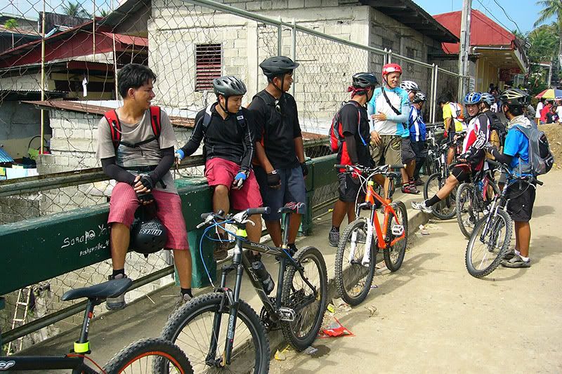
My MTB buddies and I tried to go there on our second week of mountain biking but failed. We didn't know the way and even if we did I don't think we could have done it, not with our MTB skills at that time. The trip also "gifted" me with a deep cut on my left ear as a result of a "jack tumbling down the hill" incident. Twas pathetic. But we vowed to return.
And so we did, last week, via the mountain trail (one could go via the river tr
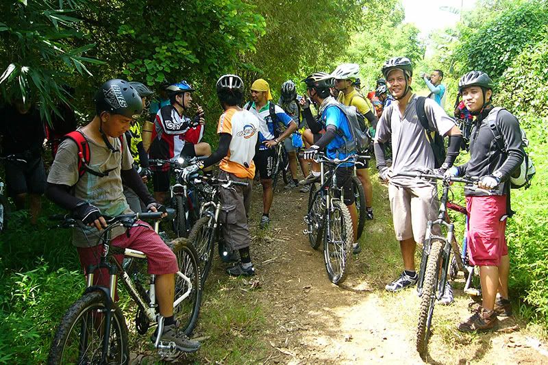
 ail, much easier). The trail starts from barangay Mascap in Montalban. We soon found out that ambitious was really the right description for the trail. The uphill portions should really be called "upmountain" if there is such a term. Rut strewn and sticky with mud, even the strongest in our group couldn't pedal it all the way up. We had to push our bikes most of the way.
The killer uph
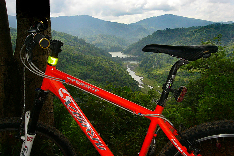
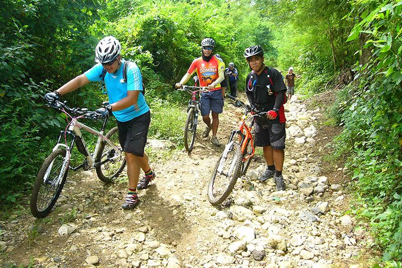
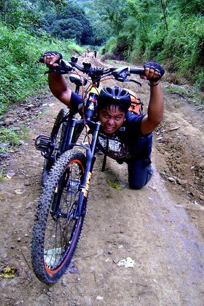 ills and scary downhills seemed to never end. I lost count after 3. The best way to attack the trail was to use positive distraction :). I distracted myself by admiring the beautiful scenery along the way.
I'd dismount in downhill sections if my tires began to lose traction. The heavy bulky bag (its the first time I brought a DSLR to the trail) on my back is giving me some balancing problems.
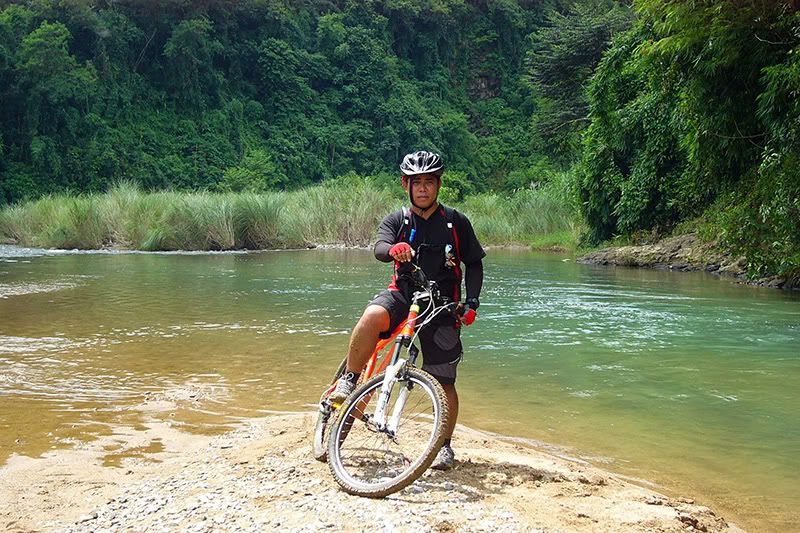
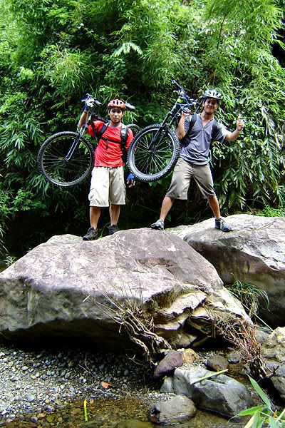
Before noon we reached our destination. Finally, we have conquered Puray! It felt like a piece of
 cake but we found out that the falls is still 1-2km away in Sitio Mabolo. And its another climb! Oh well, time to ride (and push) the bikes again.
By the time we reached the point where the road crosses the river in
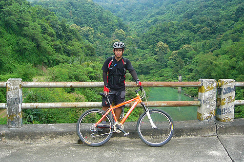
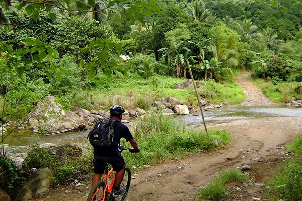
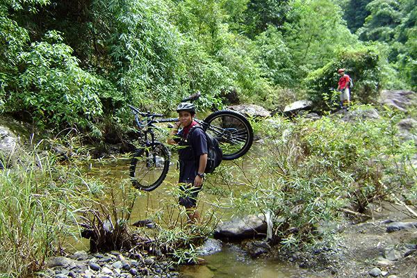
 Mabolo (the trail head to the falls) the sun's quite hot already. Although tired, it didn't stop my buddies to "play" first before looking for the actual trail to the falls.
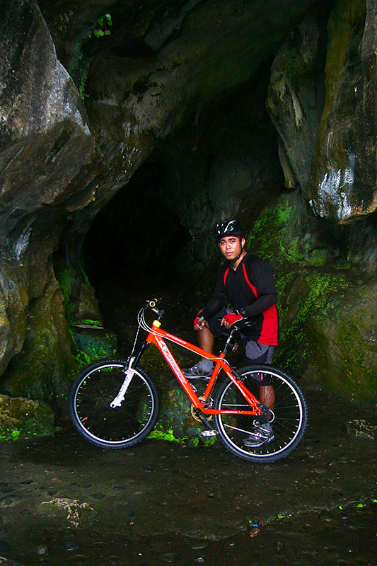
The locals probably surmised that we were trying to bike all the way to the falls. They helpfully told us that we won't be able to do that and that we have to trek upriver. Two of us decided to leave our bikes behind with one of the locals while our other companions stubbornly decided to carry their bikes (over the large slippery boulders) all the way to the falls.
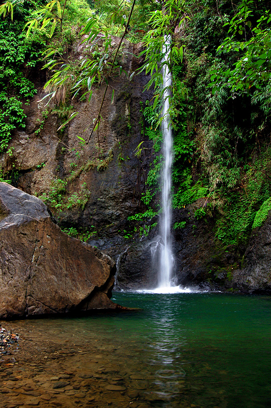
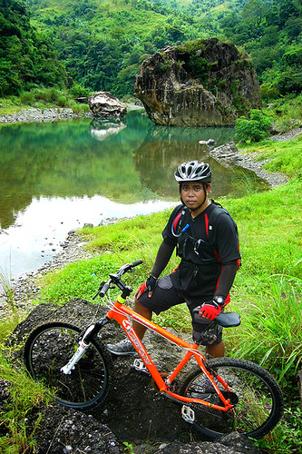
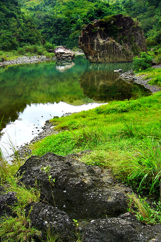
The scenery at the falls was worth all the troubles, if there were any :)
On the way back we d
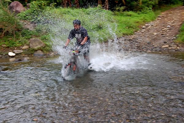
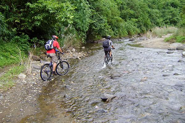 ecided to go via the river trail. It was much easier. Since its not rainy the river is shallow enough to cross on bikes if you don't mind getting your hubs wet. It'll be 11 river crossings before we got to the paved roads in barangay Mascap.